Exhibits from the Map Collection
Digitized maps are available online via the Digital University Repository or the Central Catalogue of the Map Collection.
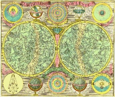
LOTTER, Tobias Conrad. Planisphærium coeleste: secundum hevelianam et hallejanam. Aug. Vindel.: T. C. Lotter, [between 1750 a 1777?]. 1 map.
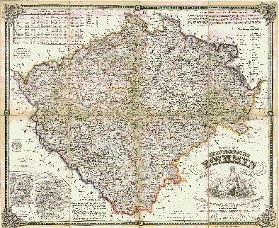
LOTH, Johann. Karte des Koenigreichs Boehmen. Prag: Friedrich Kretzschmar, 1848. 1 map.
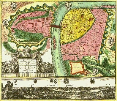
SEUTTER, Matthäus. Praga : celeberrima et maxima totius Bohemiæ metropolis et universitas florentissima ad Muldam fl. Augspurg: M. Seutter, [between 1700 a 1750?]. 1 map.
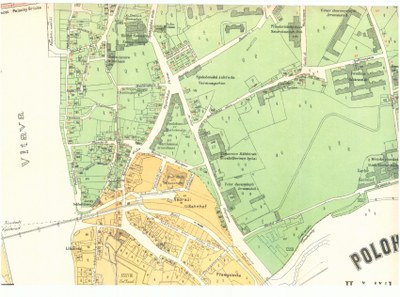
HURTIG, Alfred. Polohopisný plán Hořejšího Nového města (II.) a Královského Vyšehradu (VI.). V Praze: F. Kytka, 1891. 1 map.
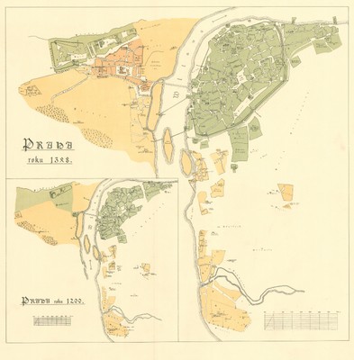
TOMEK, Václav Vladivoj. [Mappy Staré Prahy k letům 1200, 1348 a 1419]. [W Praze: Nákladem České Akademie císaře Františka Josefa pro wědy, slowesnost a umění, 1892]. 1 map.
Document Actions