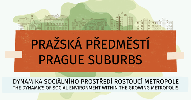
Exibition: Prague suburbs
The dynamics of the social environment of the growing metropolis is moving on its way to Albertov! We invite you to the third stop of the exhibition, which is one of the outputs of the three-year project of the same name supported within the program of applied research and development of national and cultural identity (NAKI II) of the Ministry of Culture of the Czech Republic. The exhibition is devoted to changes in the social environment of the peripheral parts of the dynamically growing metropolis from the period of industrialization to the present.
| When |
Aug 30, 2022 12:00 AM
to
Dec 05, 2022 11:00 PM |
|---|---|
| Contact Name | Nina Dvořáková |
| Contact Phone | 221 951 972 |
| Add event to calendar |
|
The project focuses on the capital city of Prague as it is the most important constituent of the Czech settlement. Therefore, it significantly shapes the national and regional identities and it is also the cultural centre of European and global importance. The main objective of the project is to describe and explain changes of social environment of suburban neighbourhoods within the growing metropolis from the industrial era onwards. The use of unpublished statistical data which were not cartographically presented and disclosure of research results within the spatial data infrastructure (SDI) and open data via internet mapserver to wide scientific community belong to the characteristic features of the project. The project aims to incorporate the research outputs into the secondary and tertiary education. The project’s goals are based on the focus of the NAKI II program and concentrate on the research of the historical development of settlement area (Prague), its socio-cultural continuity and presentation of the research to the public in Czechia and abroad. They include the digitalization and disclosure of historical population data and documents, the creation of new specialised public databases of statistical and spatial data (geodatabases) for the historical boundaries of Prague and its neighbourhoods, fulfilment of SDI and mapserver. The results will be presented in form of specialised maps, the Historical Population Atlas of Prague, an exhibition, at international conferences, in scientific publications and by organizing of final scientific conference.
You can visit exibition in the anteroom of the Map Collection from September 5 until December 5, 2022
 Caption
For more information, visit the website of Prague suburbs project: dynamics of the social enviroment of a growing metropolis: https://www.prazskapredmesti.cz/cs/uvod-k-projektu
Published:
Aug 30, 2022 12:00 AM
Document Actions