Exhibition: Map of the Kingdom of Bohemia, 1720
Date: 17.3.2020 to 31.5.2020 (Mo-Fry: 9 am to 5 pm)
Place: Albertov 6, Prague 2, 2. level, Vestibule of Map collection.
Free entry
The exhibition shows the life and work of cartographer Johann Christoph Müller (1673-1721), who made a significant map of Bohemia called Mappa geographica Regni Bohemiae which was finished 300 years ago.
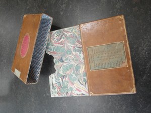 Case for the Map of Kingdom Bohemia
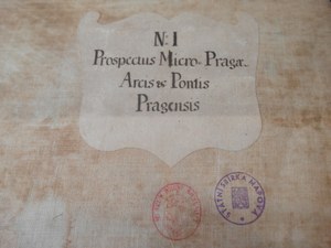 Mark of 1. section of the map
 Mappa geographica Regni Bohemiae
Published:
Mar 10, 2020 05:00 PM
Document Actions