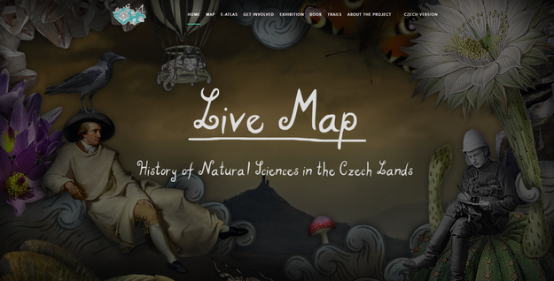
The Live Map Project – Topography of the History of Natural Sciences in the Czech Lands
The purpose of this project is to capture the places of memory present on the Czech Republic territory and connected with science, that are memorialised and fixed in the public space. These include commemorative plaques, memorials, nature or educational trails, expositions in museums, works of art, institutional buildings, etc.
The aim of this project is to present the history of science as something more than the expected series of birth and death dates of famous personae or a list of discoveries. Rather it wants to draw a complex network of information to be linked with landscape and its exploration. All historical narratives take place in specific landscapes. The locations of these events do not represent some arbitrarily interchangeable items slightly connected with what happened. On the contrary, they are natural components of these narratives, whether they be the geological bedrock, the character of the terrain, or the extent to which the location is secluded or populated and settled.
The idea of the topography of history (or the inclusion of the dimension of space in history) is developed by a project taking place at the Faculty of Science of Charles University (PřF UK) in Prague. The project is appropriately titled The Live Map. In the course of this project, a large, publicly accessible database was created, and a map containing records of the places of memory of the Czech science. It is accessible on the project website www.historyofscience.cz.
Get Involved?
Are you interested in the history of your region? Did you like our topographical project but think it lacks some important places you know about? Send us your suggestions for adding to Live Map through our interface.
Published:
May 04, 2022 12:00 AM
Document Actions