25. 10. 2022
Retrieval of forest traits from high temporal resolution satellite observations

Ing. Petr Lukeš, Ph.D.
Global Change Research Institute, AS CZ
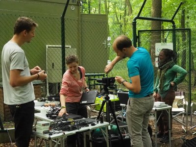
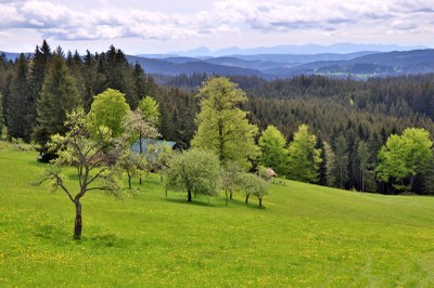
Vegetation traits can be effectively spatially mapped using remote sensing (RS) methods. Their undeniable advantage is the continuous coverage of a large area and the possibility of repeated imaging for time series analysis. This is particularly characteristic of modern Landsat (NASA) and Sentinel-2 (ESA) satellite systems. By combining them, we obtain a dense time series of surface reflectance observations, which allows, for example, a detailed study of the spatiotemporal behaviour of vegetation. In order to develop predictive models of vegetation traits from satellite data, it is necessary to carry out field sampling and the laboratory analysis of selected traits of interest. Among the traits sensitive to the changes in reflectance (so called spectral traits) are e.g. chlorophyll, carotenoid and water content of leaves. In this lecture I will introduce you to the basic methods of quantitative remote sensing on the example of a joint project of Charles University and Czechglobe, in which we dealt with spatiotemporal mapping of floodplain forest and montane beech ecosystems using harmonized observations from Landsat and Sentinel-2 satellites. In addition to the potential of RS data, we will also demonstrate the indispensability of ground-based data collection for the development of prediction models of vegetation spectral traits based on machine learning and artificial intelligence methods, their validation and ecophysiological interpretation.
CV of the speaker HERE.

Akce dokumentů