Digitizing of the Map Collection
Prof. Günter Schilder, founder of the project Explokart, said about a digital repository of map Collection:
"I was going through the digital catalogue of the map collection and was impressed about the richness and variety of the collection.
It was very useful to have in the most cases also the image of the map at hand.
Congratulations that you are already so far with the better accessibility of the collection.
In my opinion you are one of the forerunners in Europe on this field!"
In the repository are available digitized maps with the financial support of the Ministry of Culture of the project NAKI .
Digital Collection, which includes 45,322 objects is available 24 hours a day. Maps are available in the JPEG2000 format at a resolution of 300 DPI under the icon FULLTEXT. Images can be zoomed.
The descriptive metadata can be searched in two interfaces in a simple and more advanced, according to the fields: title, author (inverted), secondary authors, subject heading, publisher, release year, genre/form and language.
Records can also just browse and view metadata in three formats.
Help is right at the top under question. Access is given in Czech and English.
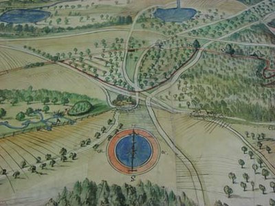
[Plasy] [manuscript] . MF. 1647. 1 map : colored ; 87 x 212,5 cm on leaf 91 x 217 cm.
(Map from the Map collection)
Document Actions